|
| *****SWAAG_ID***** | 840 |
| Date Entered | 09/12/2014 |
| Updated on | 10/12/2014 |
| Recorded by | Tim Laurie |
| Category | Mining Related |
| Record Type | Mining |
| SWAAG Site | Stainton Moor |
| Site Access | Army Range |
| Record Date | 08/12/2014 |
| Location | Stainton Moor |
| Civil Parish | Stainton |
| Brit. National Grid | SE 080 956 |
| Altitude | 370m down to 300m |
| Geology | Mineralised fault in Crow Chert and Crow Limestone Strata |
| Record Name | The Stainton Lead Mine and views across Swaledale |
| Record Description | The Stainton Lead Mines are the most easterly and represent, significantly, stratigraphically, the highest mineralisation in Swaledale. (Source: Dunham and Wilson, 1985. BGS: 'Geology of the North Pennine Orefield', Chapter 11, pp179,180 and Figure 30).
Dunham and Wilson describe the Stainton Lead Mines as follows:
'The Stainton Mines, North and South extend for a distance of 800m eastward from the head of Juniper Gill down to The White Bog, South West of Stainton Village. Here, the bearing beds are in the Crow Cherts and Crow Limestone exposed by hushing and by many bell pits sunk into these beds. The outcrop (of these bearing beds) terminating at an NE Flier (ie fault) from the Great Stork Vein which brings in grit, presumably The Grassington Grit and the workings cease.'
For a view of these Grasington Grit Beds dipping down to the fault, see Image No
Trials to access the Great Stork Vein below these bearing beds from below the grit beds were attempted from three levels: Daggets Level at SE0890 9553, 307m AOD, from an unnamed level and from Wyvil's Level, see previous SWAAG Records.
|
| Dimensions | The lead workings are 800m in extent. See photos |
| Additional Notes | ACCESS: Army Live Firing Range. No Access without express permission of the Range Officer. No Access at any time when Red Flags Flying.
The views southward from the head of Juniper Gill and from these Mines north westward across Swaledale and south eastward across the Catterick Training Area towards the Vale of Mowbray are superb.
Visited on a clear cold frosty day in December. How many men worked here and for how long? |
| Image 1 ID | 5893 Click image to enlarge |
| Image 1 Description | The Stainton Lead Mines. View southward from large shaft mound some 300m east of and above Juniper Gill | 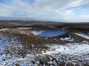 |
| Image 2 ID | 5894 Click image to enlarge |
| Image 2 Description | View north westward from a shaft mound west of Juniper Gill, on the same fault system on the line of the East End Mines in Ellerton Parish. | 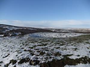 |
| Image 3 ID | 5895 Click image to enlarge |
| Image 3 Description | The same shaft mound. | 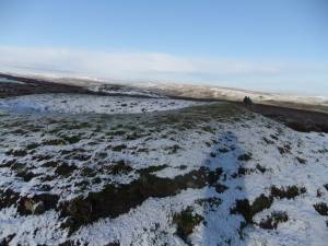 |
| Image 4 ID | 5896 Click image to enlarge |
| Image 4 Description | Juniper Gill Head view down to Ellerton Abbey. | 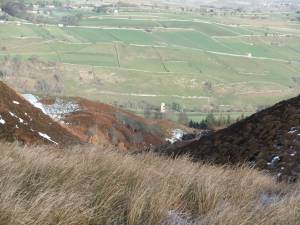 |
| Image 5 ID | 5897 Click image to enlarge |
| Image 5 Description | Small bell pit and hush leading down to the head of Juniper Gill | 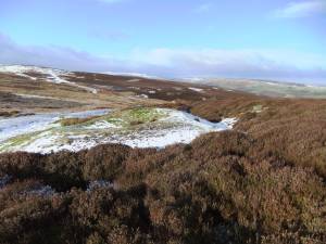 |
| Image 6 ID | 5898 Click image to enlarge |
| Image 6 Description | Small pit at edge of the mining area. View northward. | 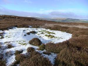 |
| Image 7 ID | 5899 Click image to enlarge |
| Image 7 Description | Shaft mounds on the Stainton Mines at the head of Juniper Gill | 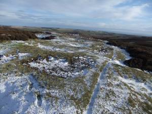 |
| Image 8 ID | 5900 Click image to enlarge |
| Image 8 Description | View from the Mines southward towards the Vale of Mowbray. | 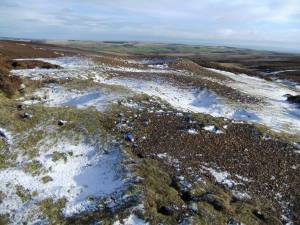 |
| Image 9 ID | 5901 Click image to enlarge |
| Image 9 Description | The Stainton Mines and hushes lead eastward down to The White Bog. | 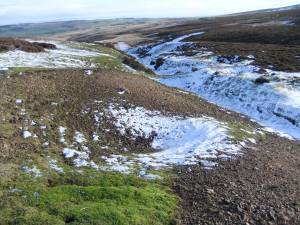 |
| Image 10 ID | 5902 Click image to enlarge |
| Image 10 Description | As last. | 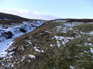 |
| Image 11 ID | 5902 Click image to enlarge |
| Image 11 Description | The hush viewed from below. |  |
| Image 12 ID | 5903 Click image to enlarge |
| Image 12 Description | Large shaft mound on the Stainton Mine, view south. | 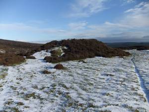 |
| Image 13 ID | 5904 Click image to enlarge |
| Image 13 Description | Further shaft mound. | 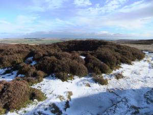 |
| Image 14 ID | 5905 Click image to enlarge |
| Image 14 Description | Stainton Mine hushes seen from below. | 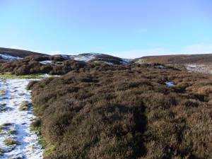 |
| Image 15 ID | 5906 Click image to enlarge |
| Image 15 Description | Shaft with view of further hushes leading down to The White Bog. | 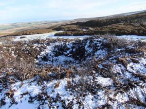 |
| Image 16 ID | 5907 Click image to enlarge |
| Image 16 Description | The Stainton Mine. One of three levels driven from White Bog to locate the Great Stork Vein, this was unsuccessful. | 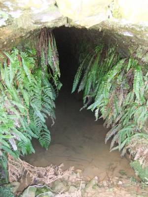 |
| Image 17 ID | 5908 Click image to enlarge |
| Image 17 Description | The Stainton Mine. Spoil tailings at The White Bog. | 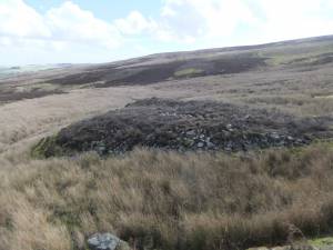 |
| Image 18 ID | 5909 Click image to enlarge |
| Image 18 Description | The Stainton Mine, Wyvil's level and Mine Shop at SE0948 9581. The portal to the level is in shadow to the left of the mine shop. | 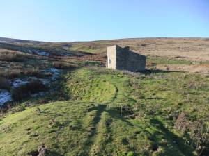 |
| Image 19 ID | 5910 Click image to enlarge |
| Image 19 Description | The Stainton Mine, Mine shop recently consolidated by Defence Estates. A rare surviving example of these characteristic mine buildings. | 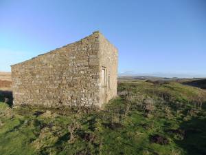 |
| Image 20 ID | 5911 Click image to enlarge |
| Image 20 Description | Wyvil's Level. Spoil Tailings at Stainton Beck. | 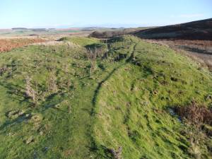 |


